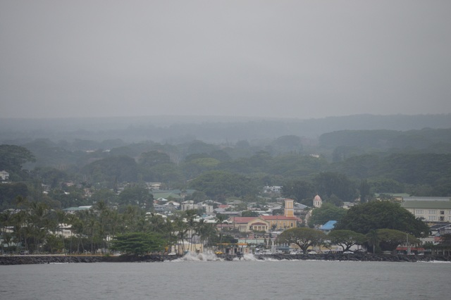
Unseasonably dry weather marked most of January and February, but March — historically the rainiest month in Hilo — has been delivering the wetter, colder winter weather East Hawaii residents have come to expect. ADVERTISING Unseasonably dry weather marked most
Unseasonably dry weather marked most of January and February, but March — historically the rainiest month in Hilo — has been delivering the wetter, colder winter weather East Hawaii residents have come to expect.
As of 1 p.m. Sunday, March was even wetter than usual, with 6.9 inches having fallen this month at Hilo International Airport. That’s more than twice the norm of 3.26 inches for the period, and brings the year-to-date rainfall total to 14.99 inches. That’s still seven-plus inches less than the norm of 22.08 inches, mostly due to a record 23 days without measurable rainfall from late January into February. The mercury fell to 65 degrees early Saturday morning and 66 degrees early Sunday morning. Calling that a cold snap might draw a derisive laugh from a native of, say, Bangor, Maine, where it was a bone-chilling 19 degrees at 10 p.m. EDT Sunday. It’s also warmer than the record lows in Hilo for each date — 59 and 60 degrees, respectively.
In Hawaii, at least along the coastlines, the rule of thumb is anything under 70 degrees is cold. The temperature was a cool 69 degrees at 4 p.m. Sunday, meaning the low clouds and drizzle only raised the temperature three degrees over the previous night’s low.
“Northerly winds are bringing this sort of dry, stable air over most of the state. The only exception is on the Big Island where there is a little bit more moisture overhead,” Matt Foster, a forecaster at the National Weather Service in Honolulu, said Sunday.
The five-day forecast on the NWS website calls for warmer days, in the mid- to-upper 70s for the week, starting today, but the cool nights are forecast to continue, with a low of 61 tonight, 62 on Tuesday and Wednesday, and 65 on Thursday and Friday.
The wind reading at Hilo airport at 4 p.m. Sunday was 14 mph from the north.
“The wind should be backing off but it’s still going to be cool, at least through the middle of the week, anyway,” Foster said.
One Hilo woman wrote on Facebook it was so cold “every female I have seen today has felt the need to combine some weird … animal print yoga pant with over the top snow fleece boots.”
Showers are also likely to continue in for most of the week, according to the forecast.
Hilo received 1.06 inches of rain on Saturday and another 0.37 inches as of 8 a.m. Sunday. Locations elsewhere around the island also reported precipitation, with Hawi registering 0.82 inches on Saturday. It was also raining in the coffee belt in Kona, with a Captain Cook resident writing on Facebook it was “pounding rain.”
Foster said there may be a brief reprieve from the rain on Tuesday, “but it’ll go right back over us.”
“It’s sort of weird,” he said. “There’s this big band of moisture that’s been just to the south of the Big Island. It’ll kind of move off us, temporarily, on Tuesday. Then, it’ll move right back over the top of us through almost to the end of the week.”
A winter weather advisory and high wind warning are in effect for the summits of Mauna Kea and Mauna Loa until 6 p.m. tonight. At 4 p.m. the temperature at the summit of Mauna Kea, according to Mauna Kea Weather Center, was a freezing 30 degrees and northwesterly winds were blowing at 62 mph with gusts between 75 and 100 mph in the forecast.
Winds and icy conditions closed the Mauna Kea Access Road at the visitor information station Sunday.
Email John Burnett at jburnett
@hawaiitribune-herald.com.


