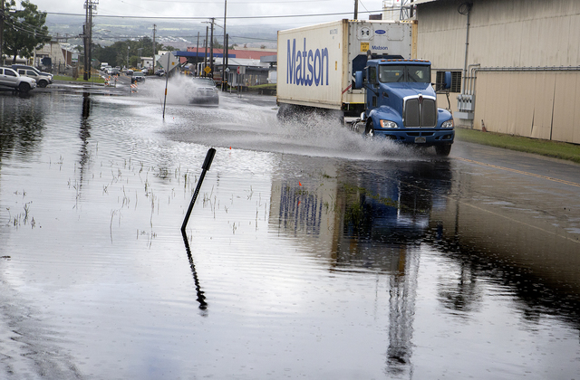
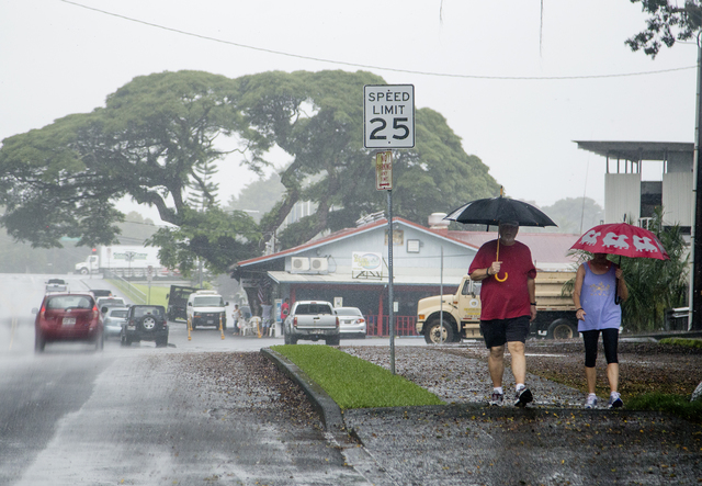
Hilda weakened to a post-tropical cyclone Thursday but still could bring heavy rains to parts of East Hawaii today. ADVERTISING Hilda weakened to a post-tropical cyclone Thursday but still could bring heavy rains to parts of East Hawaii today. A
Hilda weakened to a post-tropical cyclone Thursday but still could bring heavy rains to parts of East Hawaii today.
A flood warning was in effect through Thursday evening as outer bands of moisture drenched windward areas.
A flash flood watch was expected to remain in effect until Saturday morning.
Kevin Kodama, a hydrologist with the National Weather Service, said rainfall of up to 2 inches per hour was reported in Waiakea Uka on Thursday afternoon with other windward areas seeing mostly 1 to 2 inches of rainfall per hour.
The heaviest downpours were expected to pass through Thursday night, though thunderstorms are forecast to develop today over slopes.
Forecasters said Hilda could produce a total of 4 to 8 inches of rainfall, with local amounts up to 12 inches.
After weakening to a remnant low Thursday, the storm was forecast to dissipate by Saturday.
Darryl Oliveira, Hawaii County Civil Defense administrator, said there were no reports of flooding or road closures as of Thursday afternoon. Winds were overall fairly weak or nonexistent.
A high surf advisory ended Thursday evening.
The storm was 275 miles south of Hilo as of 5 p.m. Thursday and moving west to southwest near 14 mph. It was producing maximum sustained winds of 30 mph.
Email Tom Callis at tcallis@hawaiitribune-herald.com.

Subscribe today for unlimited access.
Already a subscriber?
Login
Not ready to subscribe?
Register for limited access.
If you have a print subscription but require digital access,
activate your account.


