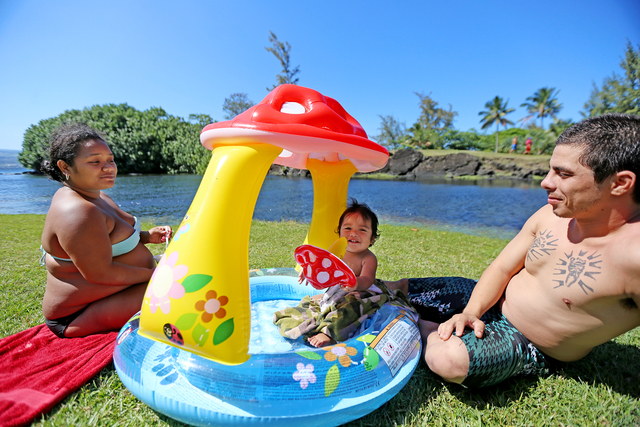
The summer of 2015 was unusually hot, with a dozen record-setting high temperatures at Hilo International Airport between June 18 and July 22. ADVERTISING The summer of 2015 was unusually hot, with a dozen record-setting high temperatures at Hilo International
The summer of 2015 was unusually hot, with a dozen record-setting high temperatures at Hilo International Airport between June 18 and July 22.
We’ve gotten off to a sweltering start this year, as well. Tuesday’s high temperature of 86 degrees tied the record for April 5 set in 1962. And in March, there were four days when the thermometer shot to record highs, with a rare 90-degree day March 8 breaking that day’s previous record by 3 degrees.
That begs the question: Will summer 2016 be a scorcher on the same order as last summer, when El Nino caused ocean surface temperatures to rise in the Pacific Ocean, which made for hot, sticky, stifling days throughout the state?
The answer depends upon whom you ask, even within the National Weather Service.
“This year, the forecast is for El Nino to weaken,” Tom Birchard, a NWS forecaster in Honolulu said Tuesday. “Whether it becomes La Nina or it’s just neutral, that’s up for debate, but we’re definitely seeing a weakening of El Nino. It should lead to cooler temperatures around the island. It shouldn’t be as warm and muggy a summer as last year.
“The general thinking is that the water temperatures around the island will not be as warm as they were last year. And that was one of the reasons we had such uncomfortably warm and muggy conditions last summer, and actually, even into the fall, with the local water temperatures warmer than normal.”
Birchard paused, then added a caveat.
“But the Climate Prediction Center is still saying a 60 percent chance of above-normal temperatures this summer for Hilo for July, August (and) September,” he said.
The Climate Prediction Center, a NWS facility in College Park, Md., tasked with long-term predictions for climate in three-month increments, notes a 60 percent chance for higher than normal temperatures in Hilo for each three-month period between now and September.
CPC’s predictions, published March 17, also call for a 50 percent chance of above-normal temperatures in the three-month period of August, September and October.
After that, CPC’s prognostications are for “even chances” of above-normal or below-normal temperatures for the remainder of the year.
June 1 to Nov. 30 is the official Pacific hurricane season. The 2015 hurricane season produced a number of close calls, with a record-breaking 15 named tropical cyclones making their way through the Central Pacific. None of them, however, scored a direct hit on the islands as Tropical Storm Iselle did in August 2014, devastating portions of Puna, knocking out power and telephone service, leveling thousands of trees, causing road closures and damaging buildings and property.
“As far as the summer, we’re expecting closer to more normal conditions as far as the temperatures and tropical cyclone activity in the (Pacific) basin,” Birchard said. “With El Nino weakening, we don’t expect the tropical cyclone/hurricane season to be nearly as busy as it was last year. That’s sort of the empirical outlook, not the official outlook, which should come out toward the end of May.”
That doesn’t mean Big Island residents should let their guard down. Iselle occurred during an “average” hurricane season, with five tropical cyclones in the Central Pacific in 2014.
And while long-term weather prediction is an inexact science, at best, Birchard said that in the short term, there’s some good news for island residents.
“We’ve got a (storm) front coming down, and it looks like it could be pretty wet on the windward side of the Big Island starting (today) into Thursday and potentially into Friday,” he said. “That’ll be good news for those on (rainwater) catchment. And it should keep it pretty cool for the next couple of days, because it’s likely to be cloudy and showery.”
Email John Burnett at jburnett@hawaiitribune-herald.com.


