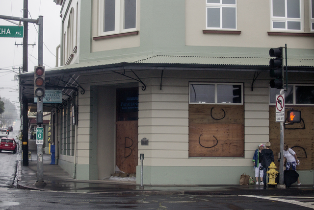
Tropical Storm Darby brought a soggy, gray weekend for island residents, but rainfall totals throughout much of East Hawaii lagged below original forecasts. ADVERTISING Tropical Storm Darby brought a soggy, gray weekend for island residents, but rainfall totals throughout much
Tropical Storm Darby brought a soggy, gray weekend for island residents, but rainfall totals throughout much of East Hawaii lagged below original forecasts.
The National Weather Service said last week the storm could soak the island with 8 to 12 inches, or up to 15 inches in isolated areas.
However, the rain gauge at Hilo International Airport measured just 2.12 inches of rain in the period between Friday and Sunday afternoon, according to NWS data. Honomu reported 6.64 inches and Pahoa 4.67 inches. Laupahoehoe received 2.93 inches in the period between Thursday and Sunday night, and Waiakea Uka and Mountain View saw 4.91 inches and 5.63 inches, respectively.
Paauilo, which reported 10.19 inches during the weekend, received roughly 3 more inches of rain than any other gauge on the island.
Forecasters also predicted last week wind gusts of up to 55 miles per hour starting Friday evening. Predictions stayed true in some areas, including the Waimea-Kohala Airport, which reported peak gusts of 53 mph in the period between Friday and Sunday afternoon. Kohala Ranch reported gusts up to 61 mph and Kealakomo saw gusts up to 53 mph. Hilo’s airport recorded peak gusts of 30 mph, NWS data showed.
Darby’s exact path remained unclear last week, but forecasters on Friday predicted the storm could take a northwest turn by early Saturday. Darby instead came ashore about 2 p.m. Saturday in Ka‘u, with maximum sustained winds of about 40 mph.
The storm passed into Maui County on Saturday night and over Oahu on Sunday, where it dropped more than 11 inches of rain in some areas.
Chris Brenchley, warning coordination meteorologist for the National Weather Service in Honolulu, said Darby’s actual path on Hawaii Island fell within the “typical average error” margin for tropical cyclone forecasts. Much of the heavy rainfall caused by the storm stayed “luckily offshore,” he said, and the Big Island’s variable terrain meant the extent of the storm’s damage varied in different areas.
“For the east side of the Big Island, the impacts from Darby were felt a little farther south,” Brenchley said.
Honolii had surf up to 18 feet during the weekend, according to NWS data, and surf up to 20 feet was reported at Ahalanui.
About 1,000 Hawaii Electric Light Co. customers lost power during the weekend as a result of high winds. Most power was restored by Sunday afternoon, according to a HELCO news release.
The Hawaii Red Cross reported a combined 226 people stayed overnight in Big Island shelters Friday and Saturday. Another 43 stayed overnight in Maui County shelters during that time. On Sunday, 233 people stayed overnight in Oahu shelters.
At least one other storm is brewing in the Pacific, though it’s not predicted to pose a direct threat to Hawaii.
Hurricane Georgette, with maximum sustained winds surpassing 100 mph early Monday, was located at least 1,100 miles southwest of Baja California and moving northwest at about 9 mph. Georgette is predicted to weaken quickly throughout the next few days, Brenchley said.
The weather “looks a little quieter now,” the forecaster said. “We don’t see anything in the models that would indicate a threat in the near future. So, it’s time for those who did have damage to clean up. And now we should see a bit quieter weather.”
Email Kirsten Johnson at kjohnson@hawaiitribune-herald.com.


