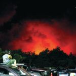
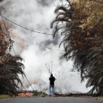
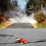
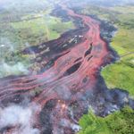
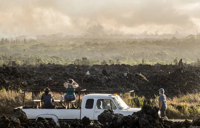
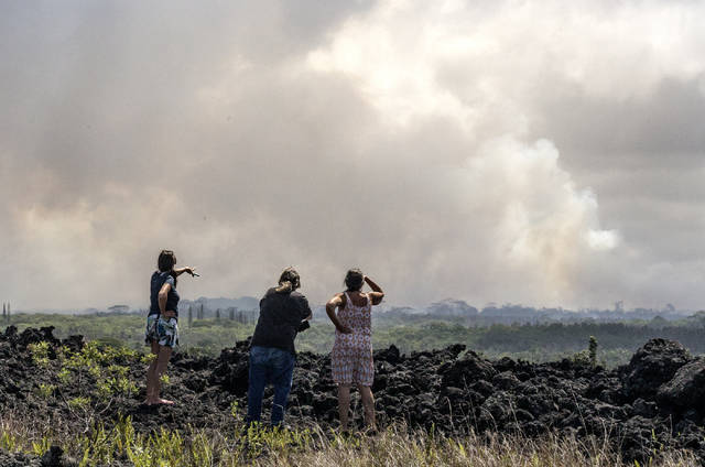
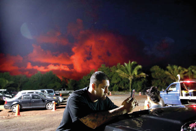
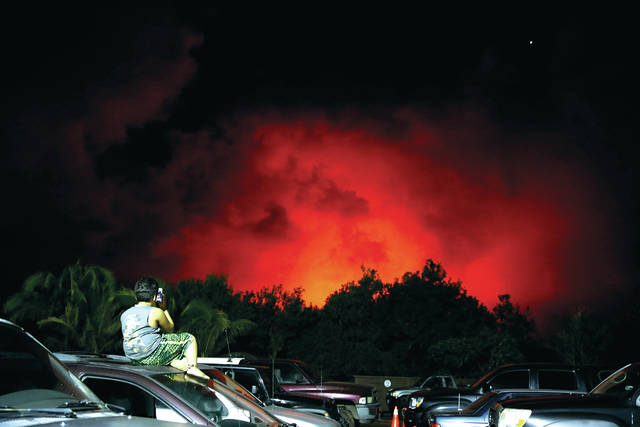
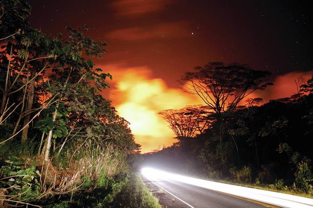
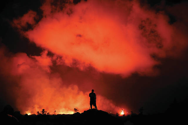
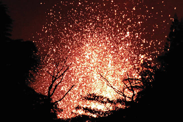
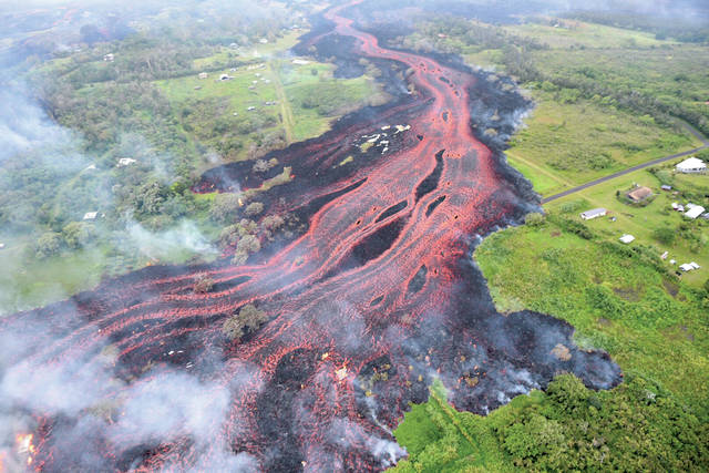
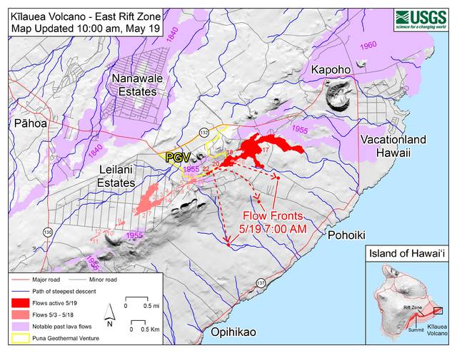
A fiery river of molten rock was on a collision course Saturday night with Highway 137 and the Pacific Ocean, prompting officials to warn about hazardous volcanic gas known as “laze” if lava meets the sea.
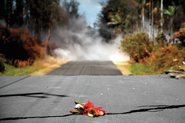
The crossing, which hadn’t happened by press time, would effectively split lower Puna in two, leaving only Highway 130 as the escape route for residents from Opihikao to Kalapana. That route remained passable after state highway crews placed plates over ground cracks formed due to magma intrusion along Kilauea’s East Rift Zone.
Talmadge Magno, Hawaii County Civil Defense administrator, said there are few homes located near the anticipated crossing area, but officials were warning people up and down the road about the hazards. Mandatory evacuations are not expected unless Highway 130 is not an option for residents.
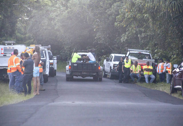
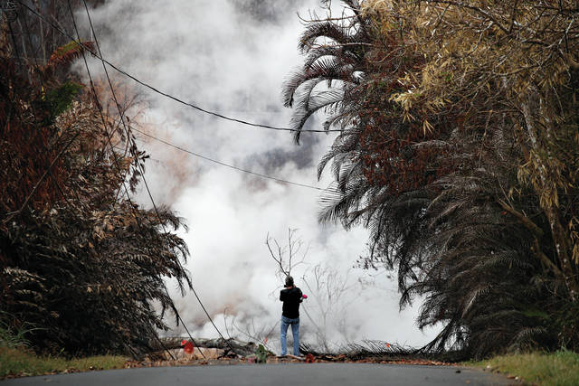
Highway 137, a scenic drive that winds along Puna’s rugged coast, known by some as “Red Road,” was mostly quiet Saturday, with a mix of vehicles belonging to evacuating residents and first responders seen driving by.
The flow was moving through the Malama Ki Forest Reserve and was expected to cross the road near MacKenzie beach park. By 6 p.m., it was about a half-mile away, according to Civil Defense, which issued a mandatory evacuation for Kamaili Road after the flow caused brush fires to threaten the area.
“It’s just another sad thing because we lost so many parks along that coastline,” Magno said, while referencing past Kilauea flows. “Hopefully, (MacKenzie) won’t be taken out.”
He noted there are few residents in the immediate area where lava was expected to cross but laze — which consists of hydrocholoric acid — could affect people downwind potentially as far as Opihikao or Kalapana Seaview Estates.
“Those populated areas have got to be aware if this stuff is reaching the community,” Magno said. “It could affect people’s health.”
He previously estimated about 2,000 people could be impacted if a road is severed, but he expects that number to be lower because of people evacuating voluntarily.
Highway 132, also known as Pahoa-Kapoho Road, and Government Beach Road remain open for residents living near Kapoho.
Mitzi Bettencourt of Kapoho Vacationland said she relocated to Hawaiian Paradise Park because the eruption was getting too close and water access was limited after a fissure broke a pipe on Pohoiki Road. She said she is staying on a friend’s property but noted rentals were becoming hard to find.
“We decided since we had a place to go we would leave early,” Bettencourt said, “before we got officially evacuated just to make things a little less stressful on us.”
Meanwhile, Hawaii Volcanoes National Park is planning to reopen Chain of Craters Road as an evacuation route.
About 0.7 mile of the road was covered by lava from Pu‘u ‘O‘o’s 61g flow, which ended around the start of the lower Puna eruption more than two weeks ago. The park remains closed because of the threat of more explosive eruptions at the summit, and the route might only be used if Highway 130 is no longer an option.
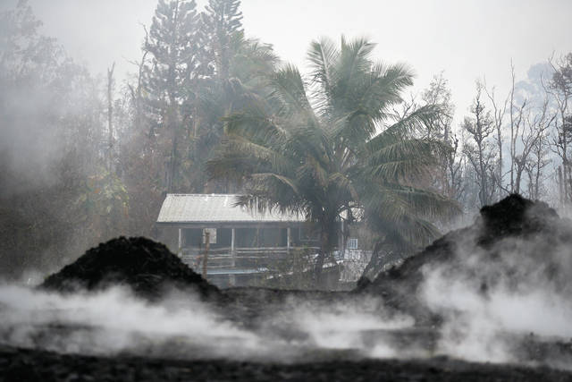
The lower Puna eruption has displaced about 2,000 people and destroyed at least 44 structures since it started May 3 in Leilani Estates. At least 22 fissures have formed in a zipper-like fashion along the rift zone from the subdivision to near Highway 132.
But the eruptive activity sharply increased Friday, when flows of pahoehoe lava began to move downslope at a rapid clip. That appeared to coincide with the introduction of fresher, hotter magma from uprift.
By Saturday afternoon, the leading flow was moving 150 to 200 yards an hour, but was flowing as fast as 300 yards an hour earlier that day.
“The eruption yesterday really changed its character,” said Jim Kauahikaua, a geophysicist with the Hawaiian Volcano Observatory. “It’s much more fluid with much more lava.”
The most vigorous flow, which was threatening the highway, came from fissure 20 located near Lanipuna Gardens. Geologists say it formed two or more different lobes which joined back together.
That flow isolated about 40 homes when it crossed Pohoiki Road on Friday evening.
Four people were airlifted to safety Friday, while another person in Lanipuna was rescued by helicopter Saturday morning.
All residents in that area were accounted for, according to Civil Defense. Magno said the county and Hawaii National Guard assisted evacuated residents to retrieve belongings Saturday.
A man was injured Saturday when a “lava bomb” struck his leg, Magno said.
He said it appeared the man was standing on a porch of a home near a fissure on Halekamahina Road. He was transported by ambulance to Hilo Medical Center.
Rhea Lee-Moku, Hawaii Electric Light Co. spokeswoman, said power supply won’t be threatened if lava crosses Highway 137. The main transmission lines are along Highways 130 and 132, she said.
Lee-Moku said poles were damaged on Highway 130, but they were able to be replaced.
HELCO is preparing to bring in generators and other equipment to maintain service if lines are severed, the utility said in a statement.
Another explosive eruption at the summit sent ash as high as 10,000 feet above sea level late Friday evening. Ash was reported falling along Highway 11.
Those eruptions, which have had minimal impact so far, occur as rocks fall into the summit’s receding magma column, the intrusion of groundwater, which creates steam, or both.
Kauahiakaua said seismic activity appeared to be building back up following that explosion, which suggests more ash emissions may occur.
Email Tom Callis at tcallis@hawaiitribune-herald.com.


