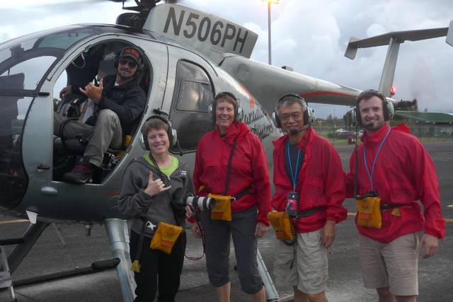
Researchers from Rice University in Houston recently joined colleagues from Western Washington University and the University of Rhode Island in placing seismometers off the coast of Hawaii Island with the hopes of gaining new insight into the landscape under the ocean floor.
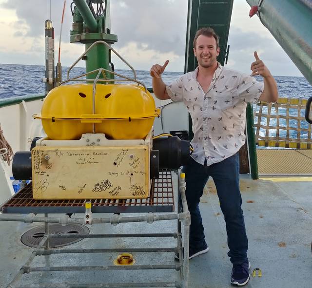
Julia Morgan, a professor of Earth, environmental and planetary sciences, and student David Blank were awarded a National Science Foundation grant to join a team of researchers and seed the seafloor with a dozen seismic detectors off the southeastern coast of the Big Island.
These efforts came in the wake of a 6.9-magnitude earthquake that shook the island in May, shortly before the start of eruption activity in Kilauea volcano’s lower East Rift Zone.
Data will be collected until September, and the information is expected to provide “an extensive record of earthquakes and aftershocks associated with the eruption of the world’s most active volcano over two months,” according to Rice University.
Morgan’s interest in geologic structures, particularly relating to volcano deformation and faulting, led her to study the ocean bed off the Big Island’s coast for years, according to an announcement Monday from Rice University.
In a 2003 paper, Morgan and her colleagues used marine seismic reflection data to look inside Kilauea’s underwater slope for the boundaries of an active landslide, the Hilina Slump, as well as signs of previous avalanches.
The researchers determined that the Hilina Slump is restricted to the upper slopes of the volcano, and the lower slopes consist of a large pile of ancient avalanche debris that was pushed by Kilauea’s sliding, gravity-driven flank into a massive, mile-high bench about 15 miles offshore, according to the university. This outer bench currently buttresses the Hilina Slump, preventing it from breaking away from the volcano slopes.
“Remarkably, after this earthquake, all the boundaries of the slump also lit up with small earthquakes. These clearly occurred on a different fault than the main earthquake, suggesting that the slump crept downslope during or after that event,” Morgan said in the announcement.
While the risk of an imminent avalanche is slim, she said, the eruption, earthquake and aftershocks present an opportunity to get a better look at the island’s hidden terrain, the university announcement said. Every new quake that occurs along Kilauea’s rift zones and around the perimeter of the Hilina Slump and the bench helps the researchers understand the terrain.
Morgan said the U.S. Geological Survey, which operates the Hawaiian Volcano Observatory, has a host of ground-based seismometers but none in the ocean. Monitors at sea will reveal quakes under the bench that are too small for land seismometers to sense.
The seismometers were placed around the Hilina Slump, close to shore where lava is entering the ocean, and on the outer bench in line with the initial quake.
“If this outer bench is experiencing earthquakes, we want to know what surfaces are experiencing them,” Morgan said. “Along the base? Within the bench? Some new fault that we didn’t know about? This data will provide us the ability to determine what structures, or faults, are actually slipping.”


