LISBON, Portugal — A hurricane packing a punch rarely witnessed in the mid-Atlantic Ocean is bearing down on the Azores Islands, placing emergency services on red alert for waves that could reach eight stories high, winds that could flatten homes and heavy rains that could turn into torrents on steep mountains.
The Category 2 Hurricane Lorenzo is expected to hit the Portuguese islands Tuesday night and Wednesday morning. Waves up to 72 feet high and hurricane wind gusts of more than 124 mph are forecast for some islands.
The U.S. National Hurricane Center in Miami issued hurricane warnings for seven of the Azores’ nine volcanic islands and a tropical storm warning for the other two. The remote islands are home to about 250,000 people.
Lorenzo was previously a Category 5 hurricane, the strongest storm ever observed so far north and east in the Atlantic basin. It is already producing huge seas over the North Atlantic, according to the hurricane center.
Severe weather conditions are not uncommon in the exposed island chain. But hurricanes usually wind down by the time they reach the area’s cooler waters.
Nuno Moreira, head of the weather department at Portugal’s Institute for the Sea and Atmosphere, says Lorenzo is so big that it is taking longer than usual to weaken.
“It’s a rare event … but not unique,” Moreira said of Lorenzo, noting that two storms of similar strength hit the islands in the 1990s.
Scientific studies have indicated the Azores should expect more of such powerful cyclones in the future due to climate change, Moreira said, as the atmosphere and oceans heat up.
The center of Lorenzo is expected to pass near the western Azores islands early Wednesday.
Authorities in the archipelago have placed the two westernmost islands, Flores and Corvo, on red alert from midnight through noon (1200 GMT) Wednesday. Besides high winds and rough seas, the islands are forecast to be drenched by torrential rains.
The five central islands are on red alert for high swells on Wednesday.
The Azores regional government sent crews out to clear drainage systems during calm daytime weather Tuesday and told residents to prepare their homes. It also canceled Wednesday classes at schools and told government workers to stay at home, except for emergency workers.
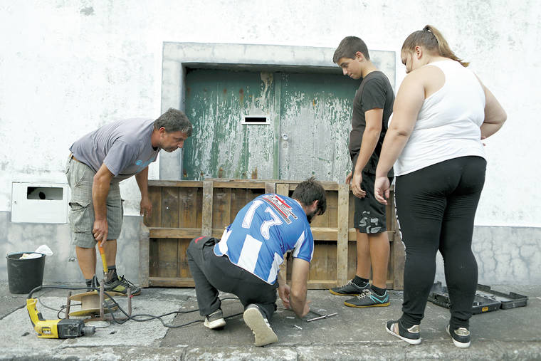
Some residents boarded up their doorways against expected flooding.
The Portuguese weather agency expects Lorenzo to weaken to a Category 1 hurricane on Wednesday as it heads northeast.
The U.S. National Hurricane Center forecasts continuing large swells around the North Atlantic basin in the coming days, producing life-threatening surf and rip tide conditions. It predicts that Lorenzo will be slow to weaken but probably will be below hurricane strength as it approaches Ireland and the United Kingdom.
Britain’s Met Office said Lorenzo would bring very strong winds and heavy rains to western areas of the U.K. on Thursday and Friday.


