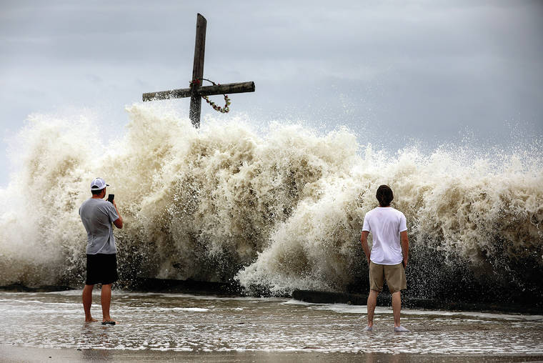
DELCAMBRE, La. — Hurricane Laura made landfall in southwestern Louisiana as a ferocious Category 4 monster with 150 mph winds early Thursday, swamping a low-lying coast with ocean water that forecasters said could be 20 feet deep and unsurvivable.
The National Hurricane Center said the storm, which intensified rapidly Wednesday before plowing into land, came ashore at 1 a.m. CDT near Cameron, a 400-person community about 30 miles east of the Texas border.
“Potentially catastrophic impacts will continue,” forecasters said.
Winds gusted above hurricane force to 127 mph while Laura’s northern eyewall moved onshore over Cameron Parish. Forecasters said even stronger winds were possible that could rip apart buildings, level trees and toss vehicles like toys.
Authorities had implored coastal residents of Texas and Louisiana to evacuate, but not everyone did before howling winds began buffeting trees back and forth in an area that was devastated by Rita in 2005.
Video and photos on social media showed torrents of rain flying sideways past street lights in Lake Charles, and streets covered with water closer to the coast. A sudden storm surge knocked over cameras meant to capture the hurricane’s effects.
With hours of violent weather ahead, officials said the extent of destruction likely wouldn’t be clear until daybreak, when search and rescue missions will begin.
Drawing energy from the warm Gulf of Mexico, the system arrived early Thursday during high tide as the most powerful hurricane to strike the U.S. so far this year.
“It looks like it’s in full beast mode, which is not what you want to see if you’re in its way,” University of Miami hurricane researcher Brian McNoldy said.
Hurricane-force winds extending 60 miles from the storm’s center neared the coast, forecasters said, and bands of heavy rain fell 30 miles from the beach in Lake Charles.
Maximum sustained winds increased to 150 mph before nightfall, and forecasters said up to 15 inches of rain could fall.


