Firefighters continue to battle wildfire, no structures threatened


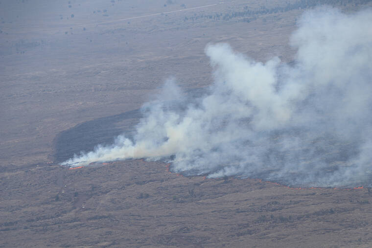
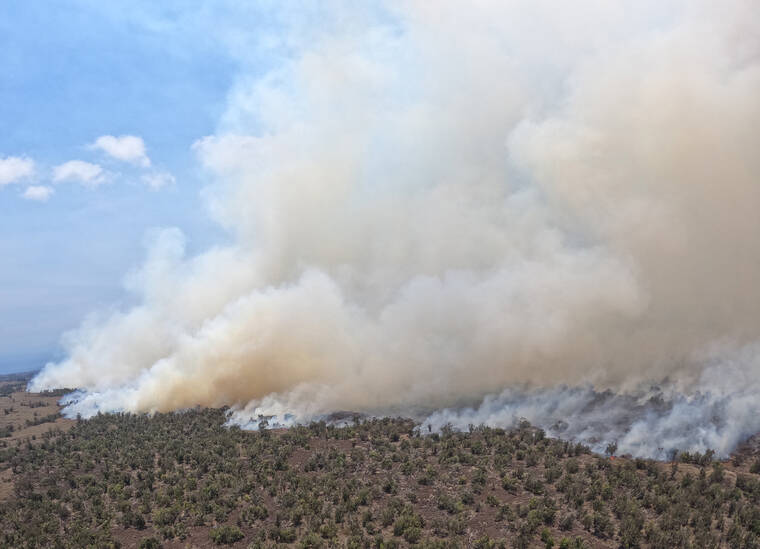
Dozens of county, state, and federal firefighters continue to battle a large wildfire that’s torched thousands of acres in a remote area near the boundary line of North Kona and South Kohala.
No homes or structures were threatened as of press-time Thursday by the fire, which quickly grew from a flare-up Wednesday of an old blaze within the western portion of the U.S. Army’s Pohakuloa Training Area. According to officials, the fire had been smoldering in the area for several weeks, and high winds amid a red flag warning on Wednesday whipped up the flames.
ADVERTISING
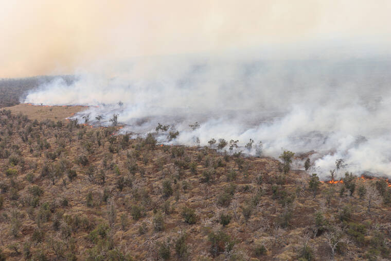
The winds, estimated around 30 mph, fanned the fire to 700 acres by Wednesday night and to 10,000 acres by mid-day Thursday, after entering state lands outside the military installation.
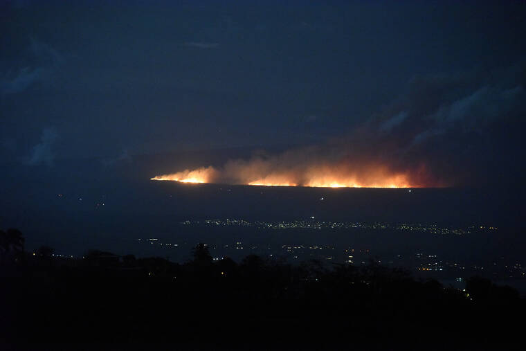
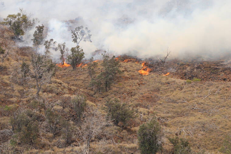
The flames, which firefighters said topped 40 feet, were visible throughout the night from areas across South Kohala. Hawaii Fire Department Chief Kazuo Todd said Thursday evening that personnel had “good control” of the makai edge of the fire, adding that the flames remained a mile above Highway 190. The fire, at that time, was burning in a southerly direction toward the 1859 lava flow and uphill toward Pohakuloa Training Area.
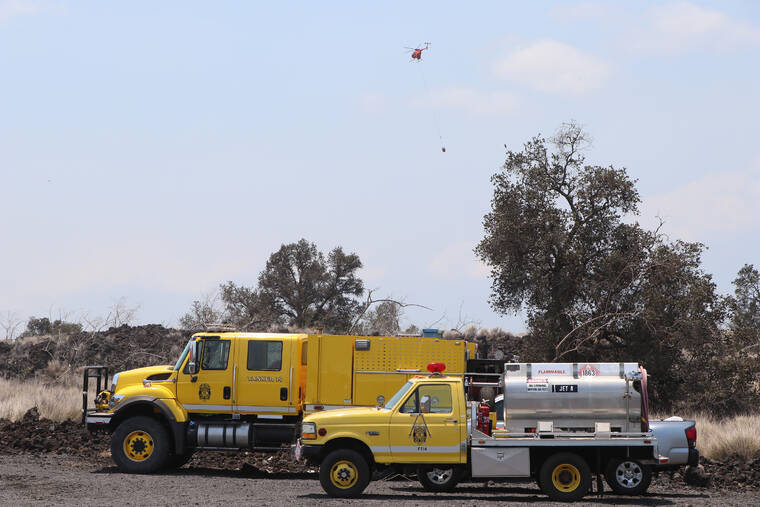
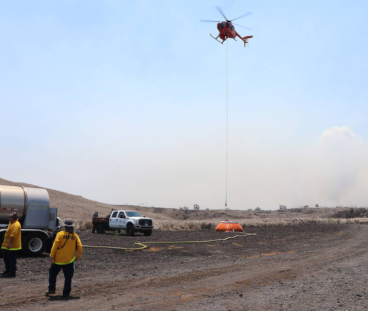
The 30-plus firefighters working the fire were assisted by a half-dozen dozers working to establish firebreaks and six helicopters providing water drops.
An exact size of the fire has yet to be determined due to smoky conditions, however, it’s “probably a decent amount bigger” than the 9,800-acre estimate issued at 2 p.m. Thursday, Todd said. The area is dominated by shrubs and grasslands that have been dried by persistent drought.
“Based on where our choppers have been dropping, I’m comfortable we can say we’re getting into that range of between 10,000 and 15,000 acres,” Todd said.
Todd advised residents that while the fire is burning in a remote area and there is currently no threat to either Waikoloa Village or Puuanahulu, now is the time to prepare in the event an evacuation could be ordered.
That means double-checking fuel in cars, having cash on hand and getting a go-kit ready.
Last year, 7,000-some residents and visitors in Waikoloa Village were ordered to evacuate as a 40,000-plus-acre fire — the island’s largest in history — appeared headed that way, though firefighters stopped the flames from nearing the area.
Todd said that as of Thursday evening he was more concerned about Puuanahulu than Waikoloa Village. Officials planned to meet with residents in the North Kona community today.
“At the moment, we are OK and we’re not too worried about it tonight,” he said Thursday evening. “That said, wind conditions and the weather can change. The community needs to be cognizant of that fact and keep an eye on the weather conditions. … There is no threat at this time but based on where the fire is burning on that southern side potentially a more heightened awareness level is needed (in Puuanahulu).”
As of press-time, the fire was about 3 miles from Puuanahulu and over 7 miles — as the crow flies — from Waikoloa Village. To reach Waikoloa Village, the fire would also have to cross the two-lane Highway 190.
“Should the situation change drastically, it’s one of those things we would put out a warning,” Todd said. “It’s just in case — we don’t anticipate it impacting any residential areas, but we also have some extreme weather.”
Crews were to remain on scene throughout the night.
The cause of the fire remains under investigation, though the U.S. Army Garrison Hawaii said the blaze began in the western portion of the active military training area.

