April showers visited the Big Island, but they were far more plentiful in usually dry West Hawaii and in Ka‘u than they were in the windward areas of East Hawaii.
That’s according to the monthly precipitation summary from the National Weather Service in Honolulu.
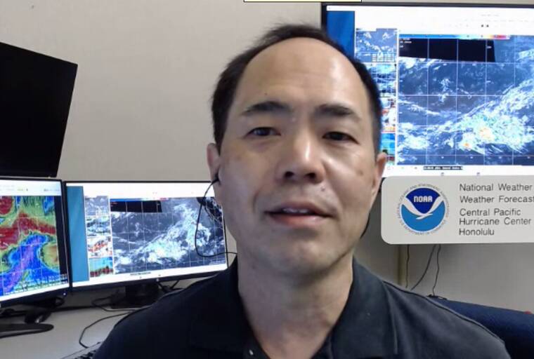
“Ka‘u had rain events multiple days because we had southeast winds,” Kevin Kodama, senior service hydrologist for NWS, told the Tribune-Herald. “And that opened up the Ka‘u district for rainfall, because they became more directly windward, as opposed to when we have straight trade winds from the east-northeast.”
Kahuku Ranch in Ka‘u had 10.42 inches of rain, almost four times its normal April rainfall.
Kapapala Ranch, at 6.66 inches, and Pahala, at 6.6 inches, experienced well above their average annual April rainfall. But that’s not the biggest surprise, according to Kodama.
“One thing that’s unusual is that the Pali 2 gauge that’s in the (Hawaii Volcanoes) National Park had the highest rainfall total” islandwide, he said.. “It’s in the Ka‘u Desert, and it has the highest amount of rain. That’s not normal. And it’s another indication that we had a lot of southeast wind.”
For the record, Pali 2’s 17.95 inches of rain is more than 10 inches above the gauge’s usual April tally.
The four Kona coffee belt gauges, which experience their rainy season in the summer, got an early start this year.
Kainaliu and Waiaha recorded 14.1 inches and 12.12 inches, respectively, more than thrice their norm for the year’s fourth month, while Honaunau and Kealakekua also had more than double their April average, with 11.2 inches and 10.82 inches, respectively.
“On the Kona side, it was multiple days. It wasn’t just one event, and several with more than an inch, all along the South Kona district,” Kodama said. “They’re coming up on their wet season, and they’re in pretty good shape, maybe too good of shape. I don’t know if getting too much rain before the wet season is bad. They get a lot of fungus and rot and bugs and other things come out. I really don’t know the nuances of that, but heading into the wet season, they’ve really had more than they need or what they’re used to.”
Multiple award-winning Kona coffee farmer Tom Greenwell, CEO of Greenwell Farms, said he’s just fine with the apparent early onset of the area’s rainy season.
“You know, I always say, ‘I’ll take the rain. I never complain.’” Greenwell said. “I really don’t. Because without the rain, the crops don’t grow, right?
“It was 14.89 inches at our real high mauka land, right at the top edge of the coffee belt,” he continued. “In the middle, it was about nine or 10 inches. It wasn’t too bad. Twenty years ago, we had 17 inches at our lower elevation, so it was a lot more than this year.
“As far as coffee leaf rust, I think (the rain’s) going to help because healthy trees really fight the leaf rust a lot. And you can’t really have a healthy tree without water, without rain.”
Greenwell said prospects for the next coffee crop are “looking pretty good” after a particularly poor harvest season in Kona — despite what looked like adequate rain last year— caused by droughts at two crucial junctures.
Greenwell said 2022’s low crop yield started with a drought in late 2021.
“October, November and December, those three months was the driest that it’s been since 1931,” he noted. “And I think that with the dry weather that we had this past summer, it really, really took a toll on the crop this year. You know, maybe 40% of normal (harvest) for most farms.”
Even perpetually arid North Kona managed to get in on the abundant rainfall, at least to some extent.
Ellison Onizuka Kona International Airport at Keahole, where a tarmac awash in sunshine usually greets the isle’s visitors, recorded 1.85 inches of rain, three times average for the month. And Puuanahulu received an eye-popping 9.38 inches, 3.5 times the April norm.
“In Puuanahulu, most of it was accounted for by two days of rain,” Kodama said. “We had a storm system, low-pressure system come by, and that produced dome heavy afternoon rainfall. We had some flood advisories out of that. They did get some rain on other days, as well, but the bulk of it was on the 27th and the 28th” of April.
On the windward side of the island, most of the gauges recorded about half their normal rainfall. Given that April is traditionally a rainy month, that means Glenwood, in the upper Puna rainforest, received 12.51 inches, while Piihonua recorded 9.63 inches and Laupahoehoe tallied 9.23 inches.
Hilo International Airport and Pahoa, which are well-positioned to receive the southeasterly rains Kodama referred to, were right at their April norms, with 9.1 inches and 12.04 inches, respectively.
According to Kodama, the one place experiencing drought conditions is a portion of the Hamakua Coast. Honokaa is a prime example, with only 2.14 inches of rain last month, 18% of its April average.
“Because we’ve had so few straight trade wind days, the Hamakua region, Honokaa to Paauilo, has been dry,” he said. “Stream levels are down. I’ve been hearing from farmer reports that they’re having impacts. They’re having to haul water. They’re getting rain, but it’s just not a whole lot, so things are starting to dry out.”
In fact, a brush fire on May 4 caused the county to temporarily shut down the Paauilo Transfer Station. Kodama expressed hope, however, that the area’s fortune, rain-wise, will change in the next week or two.
“I think we’re going to get into a pattern where the normal trades will pick up and produce some rainfall on the northeast side of the Big Island,” he said.
Email John Burnett at jburnett@hawaiitribune-herald.com.


