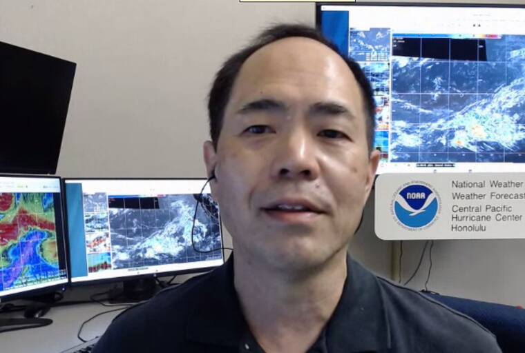
A hydrologist at the National Weather Service in Honolulu confirmed Wednesday what he told the Tribune-Herald earlier this month: Residents should prepare for an extended statewide drought.
During a press briefing to inform the news media about the outlook for Hawaii’s wet season — which runs from October through April — Kevin Kodama said the islands’ wet season has essentially been canceled due to El Nino conditions, and the drought has already begun.
“We actually ended up with the eighth-driest dry season in the last 30 years,” Kodama said. “All four counties had at least D2 conditions, severe drought, at the end of the dry season,” Kodama said. “In some places, especially in Maui County and on the Big Island, we had some places in extreme drought, D3.”
The D3 sections on the Big Island are primarily in and around Upolu Point and Ka Lae, also known as South Point, the northernmost and southernmost points on the island.
“The consensus of the climate models is forecasting large-scale, drier-than-average conditions throughout the entire wet season,” Kodama said. “This is a little bit different from what you would normally expect from an El Nino. Normally, with a strong El Nino, drought takes hold in mid-December at some point, then extends into February and March. But this time around, we’re actually in it. We’ve already started it.”
May to November is tropical cyclone season in Hawaii, although El Nino — a climate condition marked by higher-than-normal water temperatures in the equatorial Pacific — might render that season almost as meaningless as the wet season is forecast to be.
“One of the hallmarks of El Nino for the Hawaiian Islands is that we do have the potential for the extension of the hurricane season. Hurricane Iwa was during an El Nino year. That was in late November (1982). Supertyphoon Paka affected Guam, but it generated in the Central Pacific. It was a December (1997) system. And back in the 2015 season, the record-breaking season, we actually had a December system, and we even had one in January. We could see an extension of the hurricane season, so in this type of climate pattern, we encourage folks not to let their guard down.”
And while the drought already is occurring, according to Kodama, “Conditions are just expected to get worse.”
“The sectors that are sensitive to short-term rainfall deficits, they’re going to have the most severe drought impacts,” he said. “We’re talking about nonirrigated crops. Anybody who’s on water catchment may already be seeing impacts. Normally, the wet season is when you see some rainfall relief. The vegetation starts to restore. That’s not expected to happen right now. So, we’re looking for the potential for a lot of out-of-season brush fires.
“Especially by the end of February, we’re looking at statewide, widespread moderate drought conditions, D1 category. And embedded in that, we’re going to see many areas with D2 to D4 conditions, which is severe drought to exceptional drought in various areas of the state. What we’re looking at is the potential for having more than 40% of the state to be in at least D2 conditions. Right now, about 16% of the state is D2 or D3.
“This drought, we’re looking at extending well into next year and even into the next dry season.”
Email John Burnett at jburnett@hawaiitribune-herald.com.


