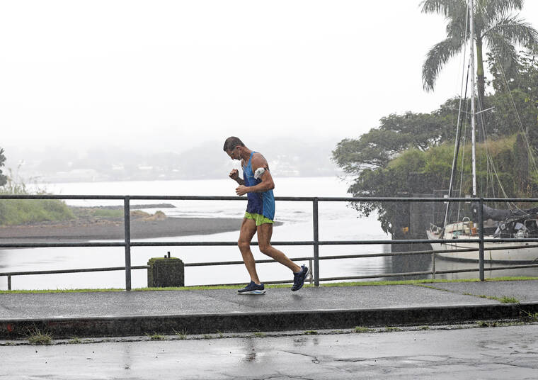
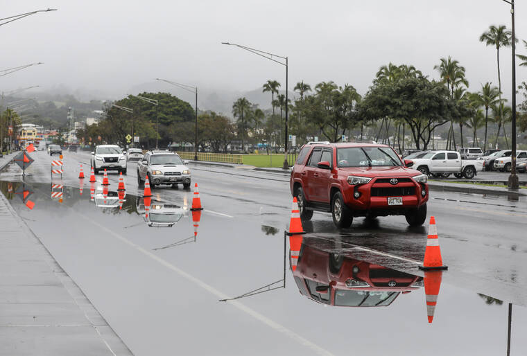
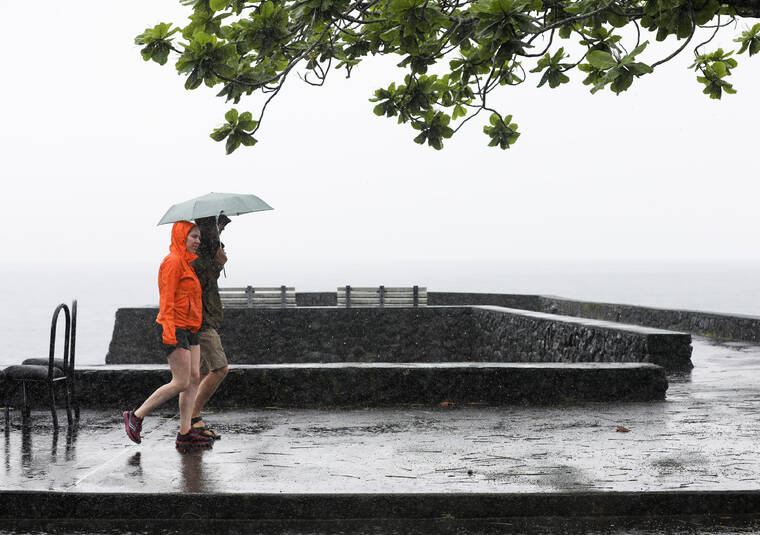
March was rainier than average on the windward side of Hawaii Island and the South Kona coffee belt. Elsewhere, not so much.
“March is the wettest month of the year for the windward side of the Big Island,” Kevin Kodama, senior service hydrologist for the National Weather Service in Honolulu, said Thursday. “So, as rainy as it has been, for most of the windward locations, the percentages are near average.
“Hilo was a little above average.”
The rain gauge at Hilo International Airport measured 15.8 inches of rain for March, 125% of its usual total of 12.68 inches.
Piihonua, in the foothills above Hilo, recorded 23.19 inches for the month, 116% of its March norm of 19.95 inches. Traveling north up the Hamakua Coast, Laupahoehoe was drenched by 24.6 inches of rain, 135% of its typical March, while Honokaa received 20.08 inches, its rainiest March since 2014.
“That was because of that rainy spell at the beginning of the month. But it quieted down in the second half of the month,” Kodama said.
Still, overcast skies and April showers have been the story so far this month on the windward side, as have chilly nights. And scattered showers remain in the forecast for East Hawaii, at least through the next week or so, with nighttime temperatures continuing to dip into the mid- to upper-60s.
Also receiving average to above-average rainfall were the four official gauges in the Kona coffee belt — which normally experiences the wet season during the summer months.
“Kealakekua and Honaunau have been wet, over 150% of normal rainfall,” Kodama said. Honaunau was the rainiest spot, with more than 4 inches. Kealakekua, Kainaliu and Waiaha all recorded more than 3.5 inches.
“This is, without any question, the most beautiful blossoming season I’ve seen in 20 years,” said Bill Myers, CEO of Heavenly Hawaiian 100% Kona Coffee Farm in Holualoa. “And it’s not just our farm. You drive down the street, and you are going to see trees that are decked out with … blossoms that are just magnificent. You want to stop and just look at them.
“And the blossoms, of course, means it looks like the harvest is going to be very good. It appears we’re looking at a harvest that starts a little bit earlier than usual. But I see every indication at this point that it’s going to be a rock-solid year.”
North Kona, where sunshine typically dominates the landscape, has been even drier than usual.
Ellison Onizuka Kona International Airport in Keahole received just 0.36 inches, about a third of its March average. Some West Hawaii locales were even more parched.
“Waikoloa and Kawaihae both had zero rainfall. That’s not easy to do,” Kodama noted. “That’s consistent with other areas — Upolu Point at 38% (of normal), just a couple of inches, Kohala Ranch at 0.13 inches and the entire Pohakuloa area, less than an inch, pretty much. It’s been dry.”
Puuanahulu reported exactly an inch, 39% of norm.
”The drought monitor is showing the center portion of the island from Pohakuloa northwest into Waikoloa and the leeward slopes of the Kohala Mountains as D2 — severe drought. And the lower portions of Ka‘u, from South Point to just makai of Pahala, they’re in D2, as well. They’re getting strong tradewinds. It’s very windy, so it dries things out quickly. Based on satellite data, the vegetation health has degraded quite a bit in the past month.”
South Point tallied less than a quarter-inch of rain last month, just 6% of its March average. Pahala received 2.51 inches, just 38% of its norm.
“We’ve had some rain in the windward Big Island and the Kona slopes. The other parts of the island, it looks like they started their dry season early,” Kodama said.
“And now, we’re getting into the time of year where they shouldn’t be expecting rainfall.”
Email John Burnett at jburnett@hawaiitribune-herald.com.


