Wetter-than-normal trend continues for S. Kona, but in East Hawaii, June was abnormally dry

KODAMA
The Kona coffee belt experiences its rainy season when most of the rest of the state experiences its dry season, starting in May and extending into the summertime.
The Kona coffee belt experiences its rainy season when most of the rest of the state experiences its dry season, starting in May and extending into the summertime.
So far, rainfall has been bountiful in that part of the island, and all four of the coffee-belt gauges experienced above-normal rainfall in June.
ADVERTISING
Leading the way is Waiaha, with 8.45 inches, or 60% above average for the month. The other three gauges — Kealakekua, with 7.1 inches, Honaunau, with 7.02 inches, and Kainaliu, with 6.12 inches — had between 6% and 17% above-average rainfall totals for June.
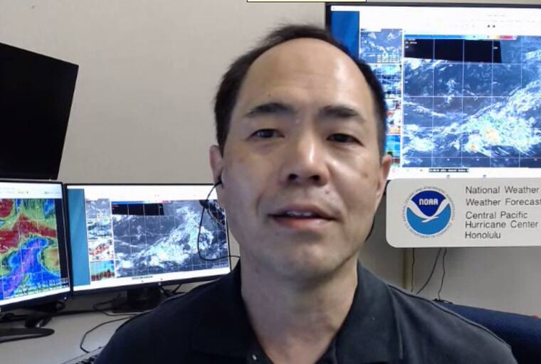
“It’s another wet month,” Kevin Kodama, senior service hydrologist, for the National Weather Service in Honolulu, told the Tribune-Herald on Tuesday. “They’re off to a good start to the wet season on the Kona side.”
According to Kodama, the wet summer is “broader than just the coffee belt but not all the way through North Kona.”
The definition of “wet” in North Kona, however, is different than that in the coffee belt region, which is mostly in South Kona.
Ellison Onizuka Kona International Airport at Keahole received slightly above-average rainfall for June, at 0.79 inches. Kaupulehu, at 1.53 inches, was 20% rainier than its normal June. And Kaloko-Honokohau measured 1.82 inches for the month, 7% higher than its average.
Farther north in North Kona, however, it was drier than normal for June. Puu Waawaa tallied just 1.4 inches, 81% of its average June, and Puuanahulu was even drier at 0.81 inches, just 41% of its norm.
The bounteous coffee belt rainfall, however, extended southward to the Ka‘u coffee belt, as well.
The Kapapala gauge recorded 4.07 inches of rain in June, more than 2.5 times its usual rainfall. Kahuku Ranch, at 4.19 inches, received almost twice its normal June precipitation. And Pahala, at 2.64 inches, tallied 28% above its average June rainfall.
None of East Hawaii’s official rain gauges recorded average or above-average totals for June. Rain has been consistent, however, usually at night, and most of East Hawaii’s landscapes remain green.
“We’ve been getting rain every day on the windward side. But you look at the daily totals, it’s been below average,” Kodama said.
Hilo International Airport recorded 4.38 inches in June, 60% of its normal rainfall. Waiakea Uka received a more generous 7.56 inches, but that is 59% of its average June rainfall. And Glenwood, in the upper Puna rainforest, received 8.36 inches, which is less than half of its usual June.
Records for the lowest June rainfall were set in Honokaa, with 0.62 inches, just 13% of its June norm, and Waimea Upper, at 1.26 inches, a third of its normal June rainfall. In addition, Waikoloa, at 0.18 inches, had its lowest June total — at 29% of norm — since 2013.
“Up Hamakua and North Kohala, Honokaa, Honokaia, Kamuela and up to Upolu Point, there’s this pocket of moderate drought, right now,” Kodama said. “It was starting to get worse, but they’ve gotten some rainfall in the past couple of weeks, so that’s stabilized things, and they’ve recovered a bit from what it was a couple of weeks ago.”
Kodama said Ka Lae, also known as South Point, also is experiencing moderate drought.
“It’s not showing up in our rainfall data because our station’s out, but satellite vegetation health data show some dryness popping up,” he said. “They had the benefit from some rainfall during the winter, but it’s starting to dry out.”
Asked if El Nino is showing up in the island’s weather conditions, Kodama replied, “It’s hard to say. It’s still kind of early.”
“The deep tropics — meaning down near the equator — are starting to show signs of it,” he said. “But right now, the ocean temperatures to the east of are cooler than normal and we’re getting typical trade wind weather that’s pretty normal for summer.”
A June 21 article in Scientific American said this year’s El Nino — which is a trend of warmer-than-normal waters in the tropical areas of the Eastern and Central Pacific — could have potentially major effects on weather around the world, such as drought and flooding — and possibly set a new record for the hottest year.
“’The stronger it is, the more confident we are in certain impacts occurring,’” Michelle L’Heureux, a forecaster at the National Oceanic and Atmospheric Administration’s Climate Prediction Center, told the magazine.
NOAA forecasts a 56% chance the current El Nino will be strong.
“Coming up next week we might see some tropical activity,” Kodama said, referring to Tropical Storm Calvin, which was still in the Eastern Pacific and more than 2,700 miles from Hilo as of Wednesday. “But that, in and of itself, isn’t El Nino. “This is the time of year (and) we might be dealing with that early to midweek, next week.
“It’s still so early, we don’t know what’s going to happen with (Calvin).”
Email John Burnett at jburnett@hawaiitribune-herald.com.


