Heat records in Hilo continue to fall as the dog days of summer come to a close. ADVERTISING Heat records in Hilo continue to fall as the dog days of summer come to a close. The past four days alone,
Heat records in Hilo continue to fall as the dog days of summer come to a close.
The past four days alone, according to preliminary climate data from the National Weather Service, have all been record-breakers. Last Friday, a 44-year-old high temperature record fell when Hilo had its fourth 90-degree day of the month.
August started out relatively cool, but 14 of the past 30 days either tied previous one-day temperature records or broke them outright.
Weather service meteorologist Chevy Chevalier said Monday the 90-degree days were not only “significantly warmer” than Hilo’s normal August temperature of 83 degrees, they were above the average high temperature of 86.9 degrees.
“It doesn’t help that there are El Niño conditions, ever since the spring, with above average sea surface temperatures,” he said.
“I don’t remember it being this hot in Hilo for this length of time,” said Kahea Schukert, athletic trainer at Honokaa High School. It’s particularly unusual for the students to be back in school when temperatures are so high, she said.
Though it’s cooler in Honokaa, Schukert and the athletic staff still are focused on keeping players safe on the fields as they practice in the heat.
“We keep them hydrated, they have Gatorade and water,” Schukert said. “That’s our biggest thing.”
Temperatures began to tie or break records in late June and continued through July, with periods of cooling and rain in between as a spate of hurricanes and tropical storms passed by the island.
The busy Central Pacific hurricane season — Hurricane Ignacio is the eighth named storm to develop in the region — also is driving temperatures up in some instances.
“It really depends on how they pass us,” Chevalier said. If a storm passes the islands to the west, as Hurricane Kilo did, a southerly component will lead to higher temperatures, he added.
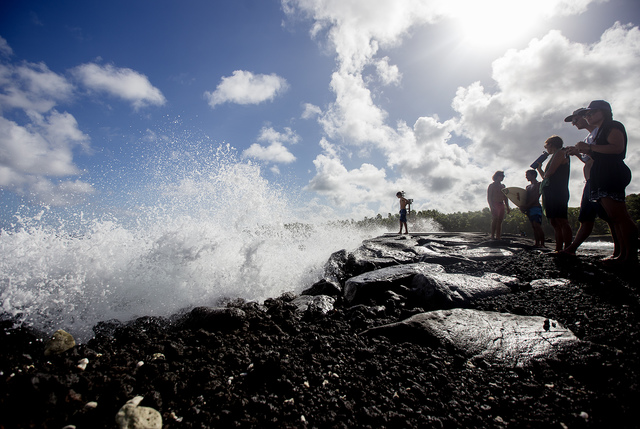
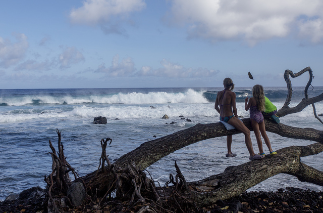
According to the most recent Central Pacific Hurricane Center forecast, Ignacio, a Category 2 hurricane as of Monday, is expected to pass 200 to 300 miles northeast of the main Hawaiian Islands in the next two days. Swells created by the passing winds are expected to create high surf that is “potentially damaging and life-threatening.”
“These storms are definitely on us,” said Richardson’s Ocean Park lifeguard John Kapsky.
Kapsky has been on the job 32 years, and said the last time he could remember the back-to-back stretches of storms passing the Big Island was in the mid-’90s, about the time of a different El Niño event.
“It becomes a pulse,” he said. The storm approaches and brings wind and high surf, then rain and then “absolutely gorgeous weather,” he continued. Then, it starts again as the next storm moves in.
“It’s a little rhythm,” Kapsky said.
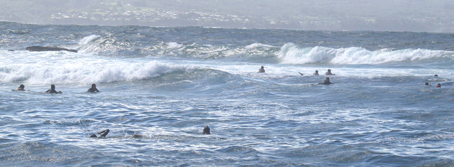
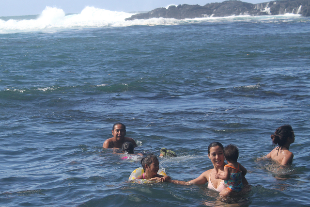
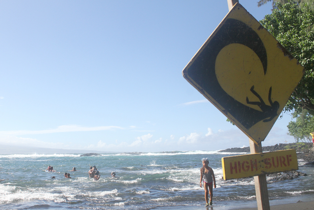
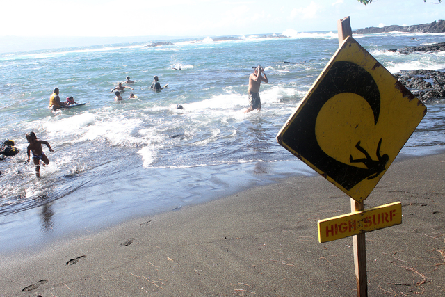
The beach was busy Monday afternoon, with more than a dozen bodyboarders out in the rising surf and snorkelers sharing space with toddlers in the shallows. High surf warning signs were posted, but Kapsky said those often go out even when there isn’t a hurricane offshore.
He said he expected the cycle of storms to persist.
“It’s not over,” Kapsky said. “It’s going to continue right up until the end of hurricane season.”
The end of hurricane season in November also is when relatively cooler months arrive, Chevalier said. But the impact of the summer heat likely will continue to be felt in fall and winter temperatures.
“They’re probably still going to be a little bit warmer than what you would normally see in [those] months,” Chevalier said.
Email Ivy Ashe at iashe@hawaiitribune-herald.com.


