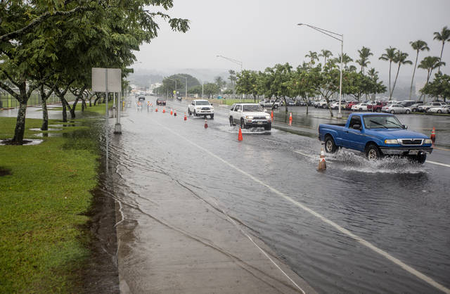
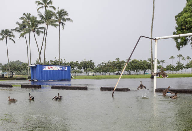
A storm front is forecast to move east of Hawaii Island today, but soggy conditions are likely to persist in windward areas, according to the National Weather Service in Honolulu. ADVERTISING A storm front is forecast to move east of
A storm front is forecast to move east of Hawaii Island today, but soggy conditions are likely to persist in windward areas, according to the National Weather Service in Honolulu.
“It will not be quite as much as (Tuesday),” said NWS meteorologist Leigh Anne Eaton. “Any sort of extra rain on saturated areas can still produce minor flooding.”
Normal trade wind weather patterns will return late Thursday, she said.
Heavy rain showers soaked much of the island at the start of the week, with flooding closing roads in the Hilo, Ka‘u and Kona areas Tuesday.
The state Department of Health was advising residents to stay out of flood waters and storm water runoff because of the risk of pollution from cesspools and other sources.
“Not all coastal areas may be impacted by runoff; however, if the water is brown, stay out and continue to practice good personal hygiene,” the department said. “Follow up with your primary care physician if you have any health concerns.”
As of 2:45 p.m. Tuesday, 24-hour rain totals reached 7.28 inches in Waiakea Uka, 3.7 inches in Pahala, 3.09 inches in Mountain View and 2.23 inches in Pahoa. In Honokaa, rain totals were about a quarter-inch.
Highest rainfall totals were located at Keaumo on the slopes of Mauna Loa, which saw 11.63 inches in 24 hours.
Hawaii Electric Light Co. reported 4,600 customers experiencing power disruptions throughout the day, with about 250 customers still without power as of Tuesday afternoon in Kailua-Kona, lower Puna, Volcano, Ka‘u and on the Hamakua Coast.
High winds also closed the Mauna Kea Access Road.
Email Tom Callis at tcallis@hawaiitribune-herald.com.


